Maps / Aerial Photos

Maps and aerial photographs showing the RiverConnect Project Area and local catchments. The below interactive map features picnic tables, barbeques and other facilities in Greater Shepparton.
Interactive Map
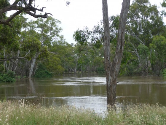
Goulburn River in Flood 2010
RiverConnect Project Area
-
June 2012
-
With schools' reaches highlighted.